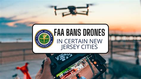
In a sweeping expansion of federal drone flight restrictions, the Federal Aviation Administration (FAA) has imposed new bans across nine more municipalities in New Jersey, citing concerns over unauthorized drone activity and potential threats to critical infrastructure. This latest decision marks a significant escalation in federal oversight as security agencies respond to a series of mysterious drone sightings and incursions that have raised red flags in recent months.
These latest restrictions affect parts of Atlantic Highlands, Belford, Fort Hancock in Middletown, Highlands, Linden, Paulsboro, Port Reading in Woodbridge, South Kearny, and Westville. The action is part of a growing pattern of FAA responses, initiated after unexplained drone appearances around strategically sensitive sites across the Garden State.
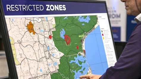
FAA Drone Restrictions Expand Across Key Locations in New Jersey
According to FAA officials, the new restrictions are largely precautionary, although they come in the wake of credible drone sightings above military and critical industrial infrastructure. The most prominent among the newly listed zones are areas adjacent to Sandy Hook Bay, particularly those near Naval Weapons Station Earle, a highly secure Navy installation equipped with a 2.9-mile pier extending into the Atlantic.
Earlier this month, two unauthorized drone flights were recorded over the Naval Weapons Station Earle, triggering immediate concern within the Department of Defense. The presence of drones in restricted military airspace is considered a potential national security threat, especially in locations known to store munitions or coordinate military logistics.
The Rise in Drone Activity and Government Response
This isn’t an isolated incident. Since late November, the FAA has issued 57 temporary flight restrictions (TFRs) across New Jersey, with the majority concentrated in areas housing sensitive infrastructure. In mid-December alone, over two dozen new zones were added at the request of federal security partners, including the Department of Homeland Security and various branches of the U.S. military.
These flight bans are formally categorized under 14 CFR § 99.7, which allows temporary airspace restrictions “in the interest of national security.” Notably, these restrictions are not permanent, but their durations—typically around three weeks—are subject to renewal or expansion.
Strategic Importance of Newly Restricted Zones
Several of the towns newly affected by these restrictions play vital roles in New Jersey’s defense and industrial logistics network. For instance:
- South Kearny and Port Reading lie within close proximity to major shipping terminals and fuel storage facilities.
- Linden, where four distinct restriction zones have been declared, is adjacent to a sprawling industrial corridor that includes chemical plants and refineries.
- Paulsboro, a frequent hub for fuel transit and refinery operations, now has two sections designated as restricted.
The Naval Weapons Station Earle, at the heart of the recent activity, is designed for munitions transport and resupply for Atlantic fleet vessels, making it a particularly sensitive site.
Drone Sightings Continue to Puzzle Authorities
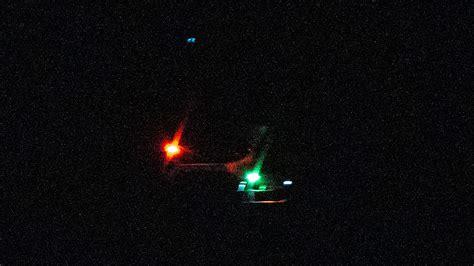
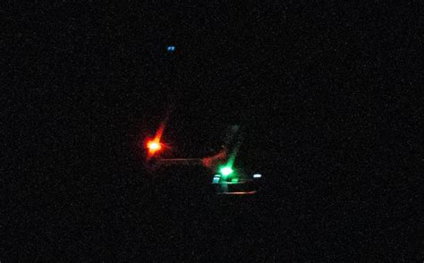
Despite the firm action taken by the FAA, the nature of the drone sightings remains ambiguous. Officials have not publicly confirmed whether the drones in question were malicious, commercial, or even hobbyist-operated. However, the mere possibility of drones flying unpermitted above military assets has triggered robust inter-agency coordination.

One of the most publicized sightings came from Mine Hill, where Mayor Sam Morris captured footage of what he described as suspicious aerial activity above Morris County. Though not directly tied to the FAA’s latest round of restrictions, it underscored the urgency with which local leaders are treating drone incursions.
Legacy Restrictions and Political Backdrop
The FAA’s crackdown began in earnest in December, initially targeting locations such as Picatinny Arsenal in Morris County and Bedminster, the location of Trump National Golf Club and a residence of President-elect Donald Trump. These early restrictions were viewed through both a security and political lens, reflecting broader concerns about the vulnerability of high-profile individuals and sites.
Since then, the list of banned locations has ballooned, incorporating a wide array of municipalities from urban centers like Jersey City and Elizabeth to suburban enclaves like Colts Neck, Wall Township, and Somerset.
Legal Landscape and Drone Operators’ Responsibility
Under current FAA law, drone operators—whether recreational or commercial—must consult tools such as the B4UFLY app or FAA’s UAS Facility Maps to determine if their intended flight zone is under restriction. Violating these TFRs can result in severe penalties, including civil fines, confiscation of equipment, and federal charges in cases involving national defense airspace.
With the new restrictions, the FAA has urged all drone users in the affected areas to review their obligations under federal law. Unauthorized drone operations over restricted areas can be interpreted as violations of national security statutes, depending on context and intent.
Complete List of Restricted Towns in New Jersey
The FAA’s expanded list now includes dozens of towns. Among the most affected are:
- Absecon
- Atlantic Highlands
- Belford (2 sections)
- Fort Hancock
- Highlands
- Linden (4 sections)
- Paulsboro (2 sections)
- Port Reading
- South Kearny
- Westville
Other previously restricted towns include Bayonne, Bedminster, Edison, Camden, Bridgewater, Colts Neck, and more. In total, over 50 municipalities are currently under some form of drone restriction, representing the most comprehensive statewide drone ban rollout in the country.
Balancing Innovation with Public Safety
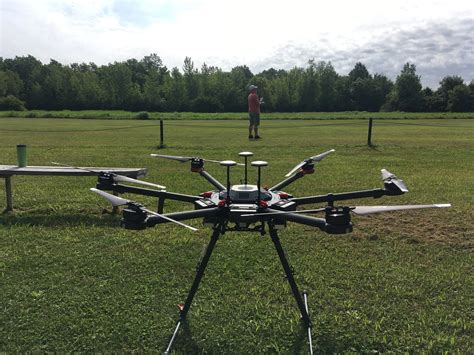
The rise in consumer and commercial drone use over the last decade has ushered in new opportunities for media, logistics, agriculture, and public safety. However, it has also opened the door to airspace violations, privacy concerns, and security vulnerabilities.
The FAA’s evolving approach to airspace management reflects the tension between these competing imperatives. As drone technology becomes more accessible and autonomous, regulators face mounting pressure to craft laws that are both proactive and flexible, without stifling legitimate innovation.
The decision to restrict airspace is never taken lightly. It requires coordination among federal security agencies, local governments, and aviation experts to assess real-time threats and enforce safe skies for both manned and unmanned aircraft.
What Drone Operators Should Do Next
For drone hobbyists, filmmakers, and commercial pilots operating in New Jersey, staying compliant now means more than ever. FAA’s current policies require operators to:
- Always check the FAA’s UAS Data Map or B4UFLY before launching
- Register their drone and label it with the registration number
- Maintain line-of-sight visibility at all times
- Avoid flying over people, vehicles, or emergency response zones
Given the fluidity of federal airspace regulation, drone users should also subscribe to real-time alerts and updates from the FAA.
Conclusion
The FAA’s decision to ban drones in additional New Jersey towns marks a critical step in safeguarding national infrastructure amidst rising concerns over aerial intrusions. With over 50 municipalities now under drone restrictions, the agency’s message is clear: the sky is not a free-for-all, particularly when it comes to areas of strategic and national significance. As drone technology continues to evolve, so too must our frameworks for accountability, enforcement, and public safety.