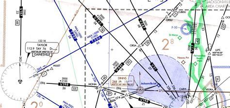
T-routes are specialized RNAV routes that don’t rely on ground-based navigational aids. They are designed for use by aircraft equipped with GPS or GPS/WAAS systems. These routes are available for flight at altitudes starting from 1,200 feet above the ground, and can extend up to just below 18,000 feet MSL. You’ll find T-routes displayed on the En Route Low Altitude charts published by the U.S. Federal Aviation Administration (FAA). For more detailed information about these routes, you can refer to Advisory Circular 90-100A, which covers U.S. Terminal and En Route Area Navigation (RNAV) Operations.