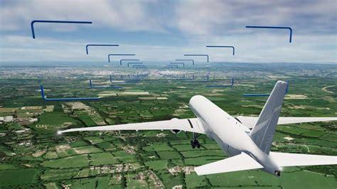
A precision approach is an instrument landing method that uses both lateral and vertical guidance. This guidance helps pilots navigate safely and accurately during landing. In contrast, a non-precision approach provides only horizontal guidance, making it less reliable for landing. Lateral and vertical guidance can come from various sources: a ground-based navigation aid, computer-generated data shown to the pilot, or a controller using Precision Approach Radar (PAR). The controller interprets radar data to assist the flight crew during the final landing phases.
Air Traffic Control (ATC) plays a crucial role in guiding pilots. They provide real-time instructions, helping pilots adjust their heading or descent rates. This ensures the aircraft lands at the designated spot on the runway. Precision approaches are categorized based on Decision Altitude/Height and Runway Visual Range (RVR). For example, Category I (CAT I) approaches require a minimum decision height of 60 meters and a visibility of at least 550 meters. Other categories have varying requirements for decision height and visibility, as detailed in the table below:
-
Category I: Decision Height (DH) not lower than 60 m, RVR not less than 550 m.
-
Category II: DH lower than 60 m but not lower than 30 m, RVR not less than 300 m.
-
Category IIIA: DH lower than 30 m or no DH, RVR not less than 175 m.
-
Category IIIB: DH lower than 15 m or no DH, RVR less than 175 m but not less than 50 m.
-
Category IIIC: No DH and no RVR limitation.
For CAT I approaches, the vertical minima are measured using a barometric altimeter. This is important because the aircraft might not be flying over level ground when it reaches the Missed Approach Point. Pilots can use either Decision Altitude (DA) or Decision Height (DH) when executing a CAT I approach. In contrast, CAT II and CAT III approaches require more precision due to their lower minima. Here, pilots rely on a radio altimeter to ensure safety.
It’s essential that CAT II and CAT III operations only take place when RVR information is available. Upon reaching the DH, if the necessary visual references are established, pilots can proceed to land. If not, they must follow a missed approach procedure. The DA or DH indicates the height at which a missed approach must start if visual contact isn’t made, according to ICAO guidelines.
")

")
 Approach: Enhancing Aviation Precision and Safety")


: A Pilot’s Guide to Radar-Guided Landings")

 in Instrument Flight")